Use spatial intelligence to understand how your landscape is changing. Stratify compares lidar surveys, helping you track what matters and build a lasting digital record.
lidar with a memory
Stratify turns survey snapshots into evidence your organisation can retain, revisit, and use over time.
Products
Measure the landscape.
Track what changes.
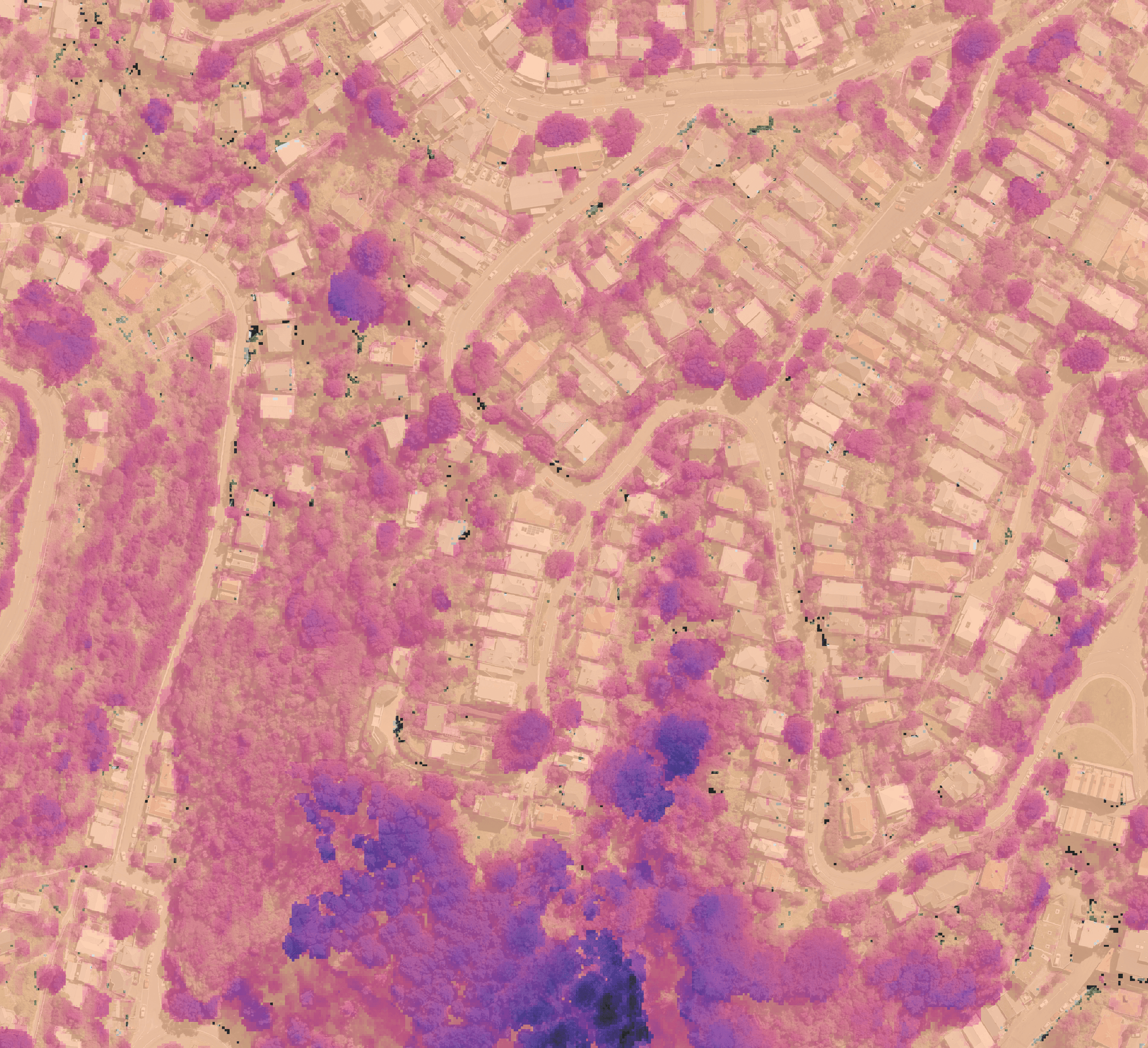
Stratify’s monitoring products turn lidar into repeatable measurements that move easily into downstream workflows. The Stratify Platform makes those results faster to explore, compare, and review.



industries
For teams managing large or complex environments.
Stratify is built for organisations with recurring lidar surveys, too much area for routine manual inspection, and data that is difficult to share or act on. A long-term record of change gives your teams credible evidence when they need it most.


how it works
From lidar survey to monitoring record.
Stratify handles the heavy processing between large source datasets and monitoring evidence your teams can use.
WHy Stratify
More value from every lidar survey.
You define what matters
Build a record that lasts
Get from survey to answer, faster
Copyright © 2026 Stratify Geospatial Pty Ltd